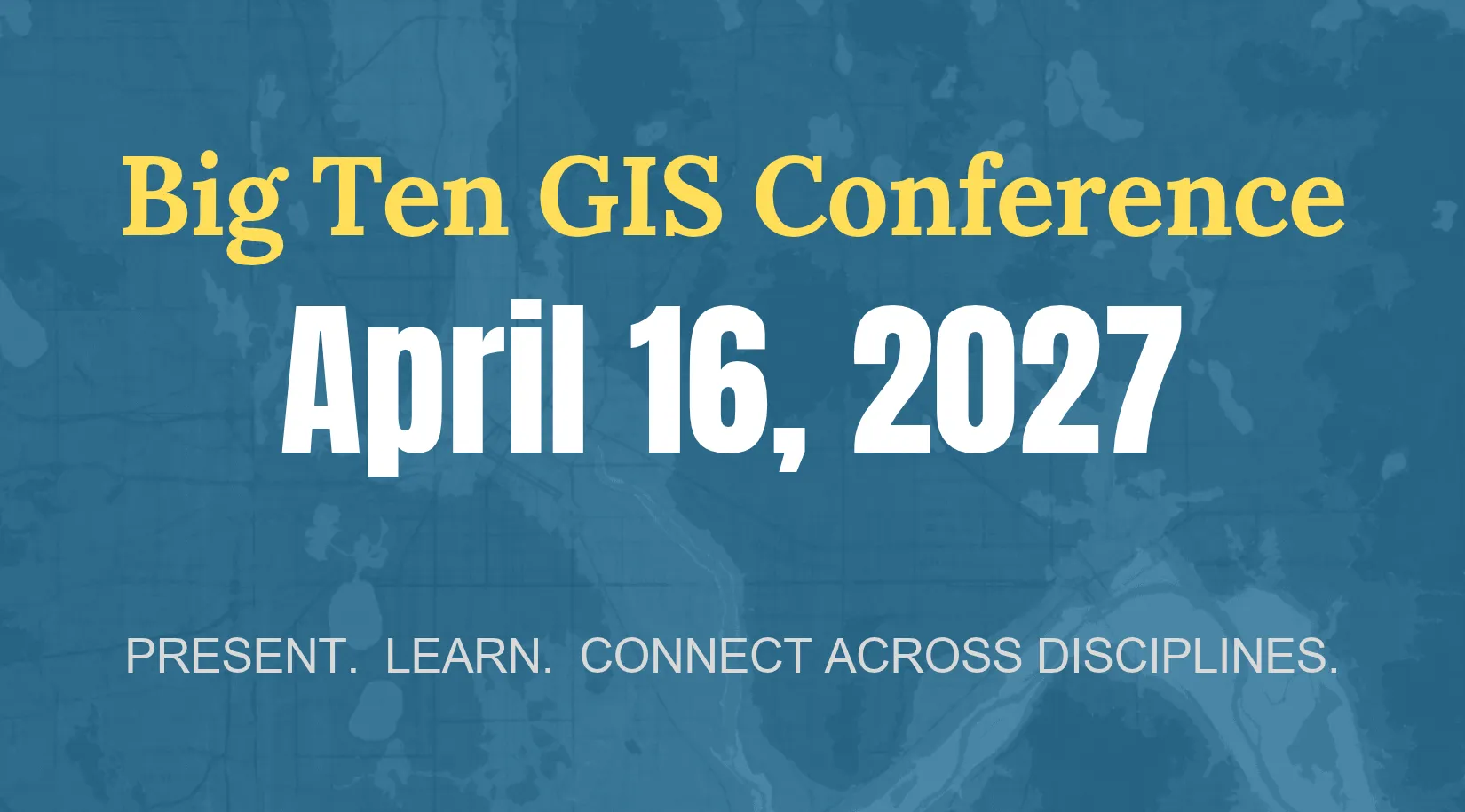
SAVE THE DATE: April 16, 2027
Section titled “SAVE THE DATE: April 16, 2027”The Big Ten GIS Conference is a free virtual event for anyone who works with geospatial information, including students, faculty, researchers, librarians, and GIS professionals.
Participants join from across the United States and beyond for research presentations, lightning talks, a gallery of original maps, and keynote speakers exploring current applications of GIS. Recent sessions have examined topics ranging from soil erosion in the St. Joseph River Watershed to redlining and mental health access in Wayne County and the impact of a 1907 typhoon in Micronesia.
Give a talk, enter the map gallery, or simply join the conversation. You do not need to be affiliated with a Big Ten university to present or participate.
Key Dates
Section titled “Key Dates”| Milestone | Date |
|---|---|
| Call for presentations and lightning talks | To be announced |
| Map gallery submissions | To be announced |
| Registration opens | To be announced |
| Conference | April 16, 2027 |
We will post dates here and announce them in Coordinates, our quarterly email newsletter.
What We Welcome
Section titled “What We Welcome”Presentations, lightning talks, and map gallery submissions from anyone who uses geospatial information in their work. Past topics include:
- Agriculture and natural resources
- AI and machine learning
- Urban planning and infrastructure
- GIS education and methods
- Health sciences, humanities, and social sciences
- Cultural heritage and spatial storytelling
- IDEA and environmental justice
- UAVs
- Applied GIS in campus and municipal projects